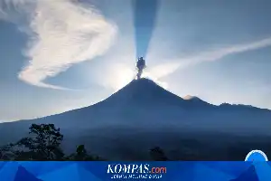
The Geological Agency of the Ministry of Energy and Mineral Resources (ESDM) has firmly denied the authenticity of a video recording circulating widely on social media regarding the eruption of Mount Anak Krakatau. The authorities stated that the visual content does not match the current volcanic activity of the volcano located in the Sunda Strait.
Acting Head of the Geological Agency, Lana Saria, explained that her team had conducted an in-depth verification of the circulating material. As a result, it was confirmed that the video was not a documentation of the eruption event that occurred in July 2026. The public is urged to be wiser and not participate in spreading unverified content.
In addition to denying the video's authenticity, the Geological Agency also clarified incorrect information regarding the safe radius around the mountain area. They emphasized that the current recommended radius is 3 kilometers from the eruption center, not 5 kilometers as rumored among the public. This restriction includes activities for fishermen, tourists, and the general public to avoid the risks of pyroclastic flows, lava, and incandescent rock falls.
To date, the status of Mount Anak Krakatau remains at Level III (Alert). People in the coastal areas of Banten and Lampung provinces are urged to remain calm and not be provoked by baseless tsunami rumors. All official updates regarding volcanic activity will only be released through the official channels of the Geological Agency, PVMBG, and the MAGMA Indonesia application.